Jennifer Henning's German Genealogy Site
Jennifer Henning
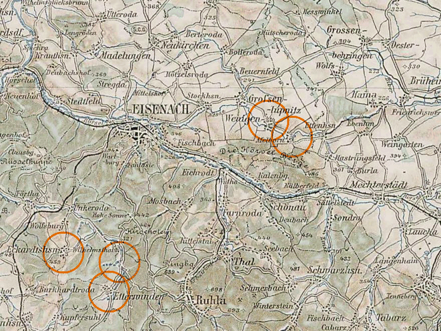
Eisenach area
Navigation
Copyright ©2005-2014 byThis page created December 24th, 2007, updated April 3rd, 2014, last edited November 24th, 2014

| |
| To zoom in to a more detailed map, click within any Gold Circle on the above map. | |
|---|---|
Map dates from 1910. It covers an area of approximately 25 by 19 km (16 by 12 US miles).
Map image was adapted from 3rd Military Mapping Survey of Austria-Hungary, 1:200, sheet 43