Jennifer Henning's German Genealogy Site
Jennifer Henning
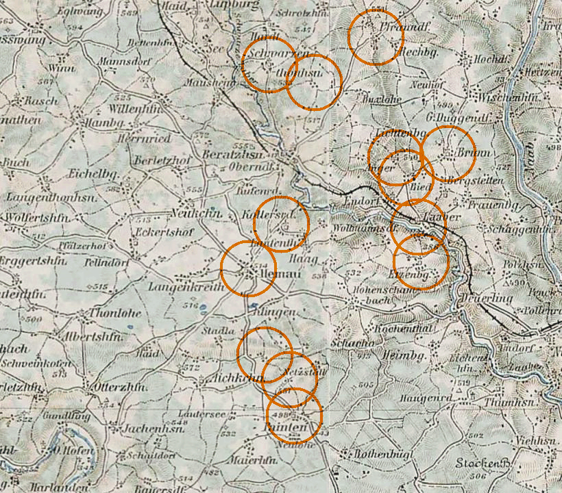
Part of Kreis Regensburg and Kelheim
Bayern
3rd Military Mapping Survey of Austria-Hungary, 1:200,000 Merged from parts of sheets 92 and 93
Navigation
Copyright ©2005-2021 byThis page created December 24th, 2007, updated April 3rd, 2014, last edited March 7th, 2021
Bayern
3rd Military Mapping Survey of Austria-Hungary, 1:200,000 Merged from parts of sheets 92 and 93

| |
| To zoom in to a more detailed map, click within any Gold Circle on the above map. | |
|---|---|
Map dates from 1902, 1913. It covers an area of approximately 24 by 21 km (15 by 13 US miles).
Map image was adapted from 3rd Military Mapping Survey of Austria-Hungary, 1:200K, sheets 92 & 93