Jennifer Henning's Genealogy Site

Let me know if we are researching the same people or places.


Name and place indexes for this entire web site.

Information on just this family and region.

Introduction to this web site.
Copyright ©2005-2016 by Jennifer Henning
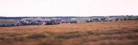
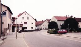
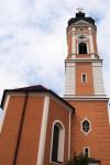
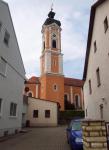
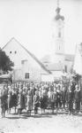
Painten
Kreis Kelheim, Bayern
(Click on picture for larger image)
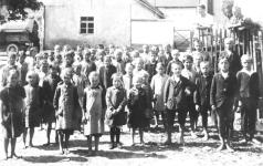
Related Families in Painten
Navigation
Let me know if we are researching the same people or places.
Name and place indexes for this entire web site.
Information on just this family and region.
Introduction to this web site.
This page created August 19th, 2005, updated September 28th, 2015, last edited October 12th, 2016
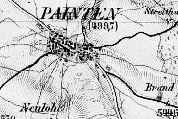
Kreis Kelheim, Bayern
(Click on picture for larger image)
| |
| To zoom out to a larger area map click here. | |
|---|---|
Map dates from 1887, updated 1904. It covers an area of approximately 1.9 by 1.3 km (1.2 by 0.8 US miles).
Map image was adapted from Topographischen Bureau des K.B. 1:50K, sheet 47 (Dietfurt Ost)
The following table shows which of the individuals included in this web site are connected to Painten and over what time span they are found here.
| Surname | Given names and the range of dates the person was found in Painten |
|---|---|
| Dietz |
 George 1877John Sr 1877 George 1877John Sr 1877 |
| Metz |
Georg 1975 |
| Preis |
Walburga 1955 |
| Printschat |
Katherine 1877 |